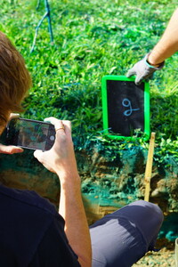
LI-7
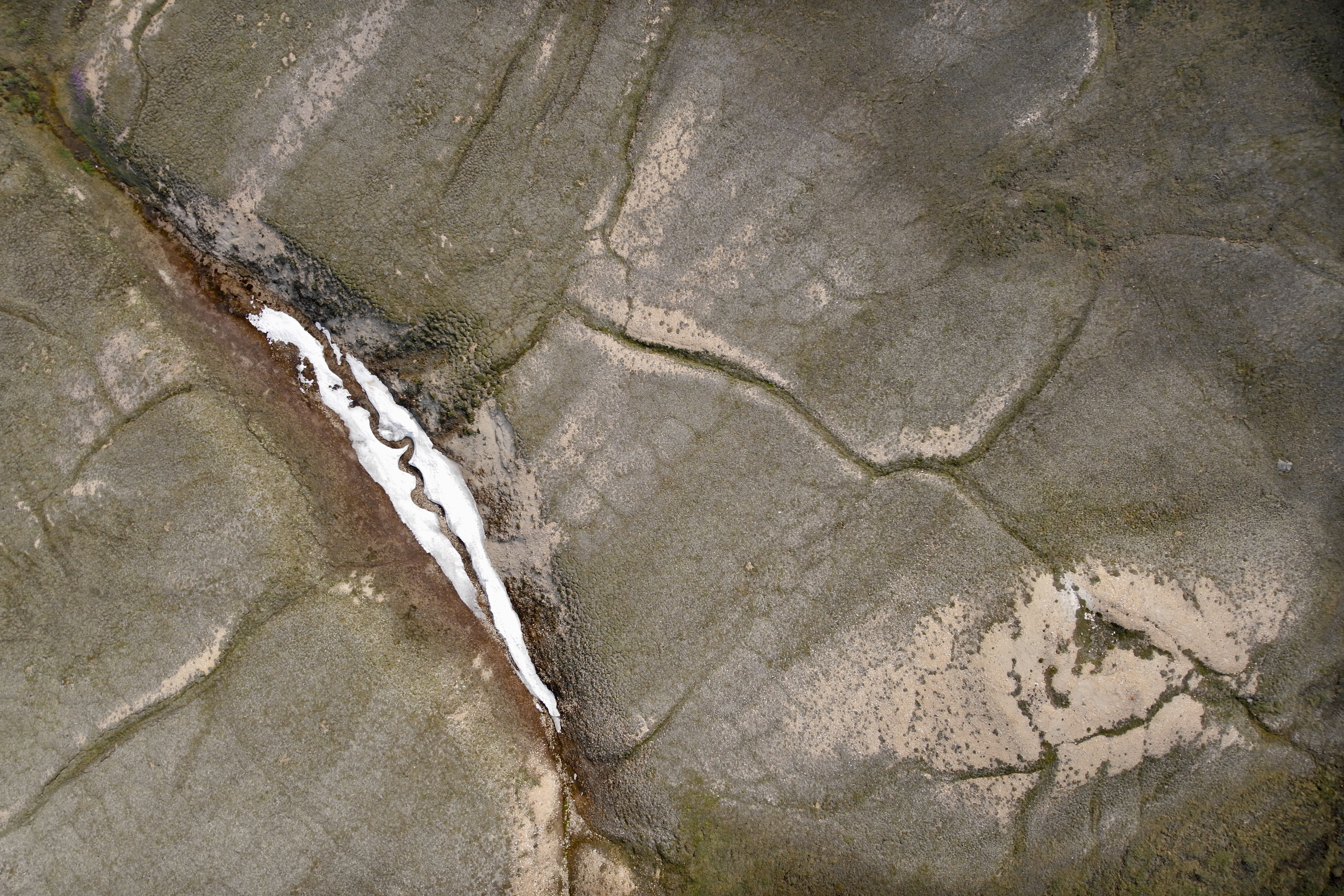
The snow patch.
Aerial photography with drones has become an essential research tool in ecology. In the Arctic tundra, we use drones to map the finely distributed vegetation. Processing the thousands of pictures generated into a map can be a tedious process, but every now and then we capture the character of the landscape in one single photograph. Here, we see a snow patch in a typical polygonal tundra landscape. The geometric features are created by freeze and thaw of the frozen soils. A creak runs through the snow patch, creating a snake or lizard like pattern. Victoria Island, Nunavut, Canada.by Jakob Assmann